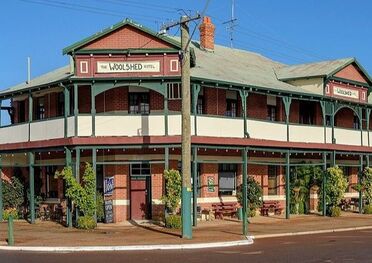
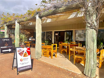
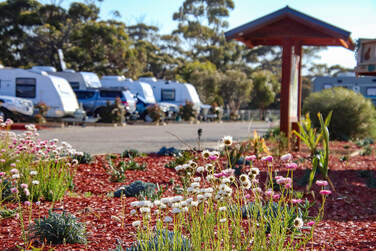
NUNGARIN - A STOP ON THE WHEATBELT WAY
  • Home
  • AREA MAPS
    • Businesses
    • Cemetery Records
    • Nungarin Community Groups
    • Nungarin Primary School
    • Nungarin Swimming & Gymnasium
    • Shire of Nungarin
    • Sporting Complex >
      • Sporting Club Contacts
  • More...
    • History
    • Links
    • Resource Booklets
    • Businesses

Stop and Rest
(Accomodation, dining and amenities)


Picture
WOOLSHED HOTEL
Accomodation & Dining
​McCorry's Old Hotel
Woolshed Hotel

​Dining Only
Wheatbelt Rural Cafe
​
Accomodation Only
Mangowine Homestead
​Nungarin Shire Caravan Park
Picture
WHEATBELT RURAL CAFE
Picture
NUNGARIN SHIRE CARVAN PARK
Picture
MANGOWINE HOMESTEAD
Picture
McCorry's Old Hotel

Fuel

24 hour fuel service self serve (CARD ONLY)
Located opposite Wegners Rural * However please note the fuel service is not linked with Wegners Rural 
​Main street: Railway Ave 

Public Toilets

Located between the CWA building and the Radcliff Park
​Main street: Railway Ave ​


RV Dump Point

Located opposite Radcliff Park on north side of the Nungarin-Merredin Road
​Merredin Nungarin road runs parallel to the main street 
Picture
RV dump point

Recycling

General recycling of cardboard, tins etc.
Main street: Railway Ave
​Opposite Radcliff park 
  • Home
  • AREA MAPS
    • Businesses
    • Cemetery Records
    • Nungarin Community Groups
    • Nungarin Primary School
    • Nungarin Swimming & Gymnasium
    • Shire of Nungarin
    • Sporting Complex >
      • Sporting Club Contacts
  • More...
    • History
    • Links
    • Resource Booklets
    • Businesses