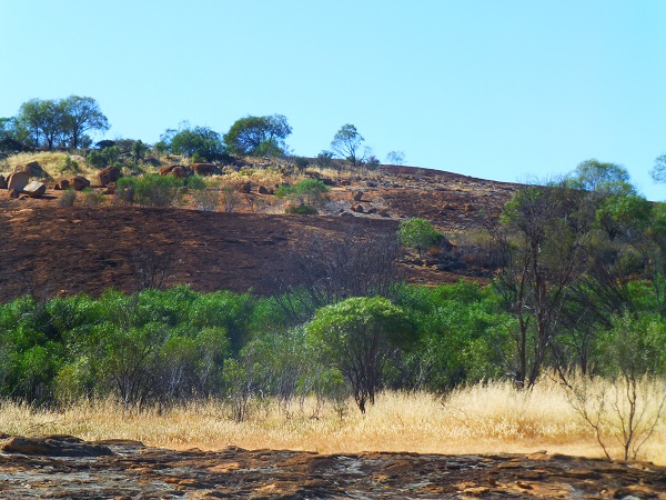
Talgomine Reserve
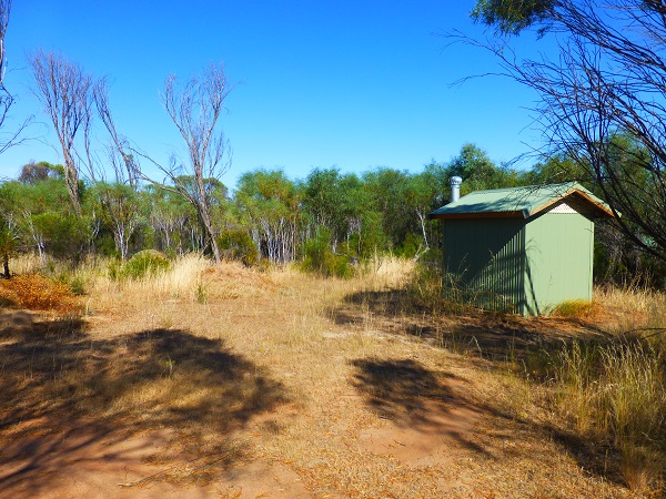
The Talgomine Rock reserve is a large area of reserve that boasts two picnic tables and a long drop toilet.
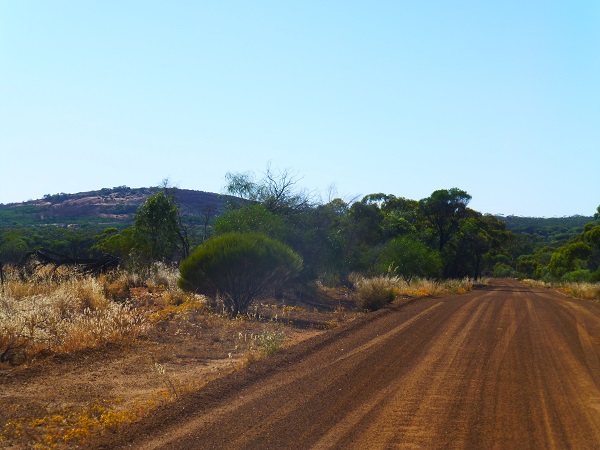
It is accessed via Talgomine Reserve Road which is only a short scenic 15 minute drive east of Nungarin.
Talgomine reserve is much more than a rock and reserve, the location served as a stopping place for travellers and stock in 1889 passing through the area. The reserve became an important watering place for early settlers which is evident through the dam at the foot of the rock as well as two stone wells. The granite rock itself was originally named 'Mount Moore' in honour of George Moore who accompanied Surveyor John Septimun Roe (the first referenced information).
Community sheep dips were issued in 1938 to treat infestations of scab (a skin disease caused my mites). There are dips located in the Nungarin shire at Talgomine, Danberrin, Knungajin and Mangowine.
|
|

|
|