Danberrin Rock
|
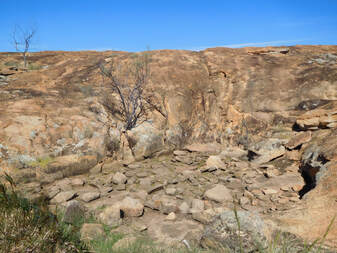
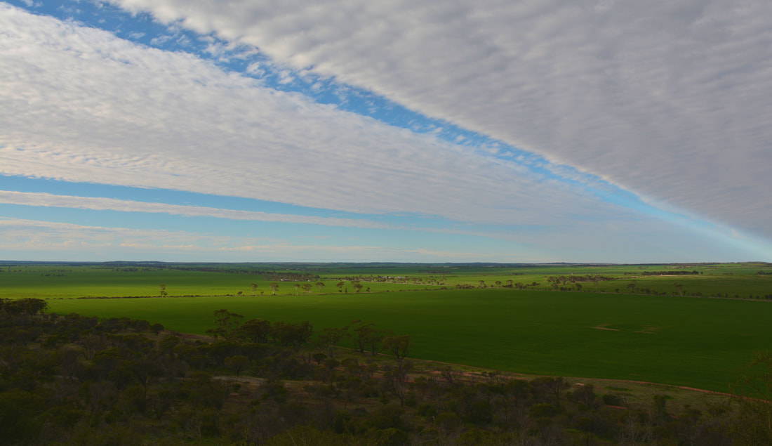
Photo from peak by Milla de Lacy
|
|
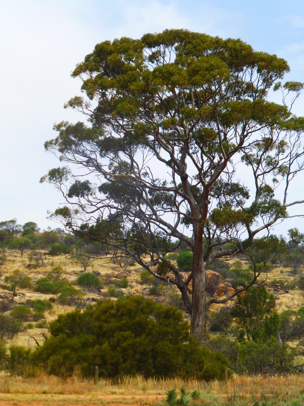
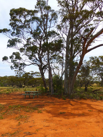
Danberrin Rock Reserve is located only a 15 minute drive south of Nungarin. Turn right off Danberrin Road onto Baird Road and then turn left into the reserve. Stay to your left as you enter the reserve and you will find yourself at the Danberrin Rock picnic area which boasts lovely shade, two picnic tables and a longdrop toilet. The rock itself is a lovely climb if you're looking for a source of exercise with a stunning reward when you reach the peak. The peak is marked by a tin tower and from there you are provided with a breath taking 360 degree view of the land cleared by original settlers.
In the north east corner of the rock itself is a man-made Gnamma hole; a natural hole in which rainwater collects. The Gnamma hole expresses the reserves of the rich aboriginal history and occasionally holds water during winter. This location is highly recommended for its sunrises, sunsets and views! We promise it won't disapoint you.
In the north east corner of the rock itself is a man-made Gnamma hole; a natural hole in which rainwater collects. The Gnamma hole expresses the reserves of the rich aboriginal history and occasionally holds water during winter. This location is highly recommended for its sunrises, sunsets and views! We promise it won't disapoint you.